€15.90 *
Prices incl. VAT plus shipping costs
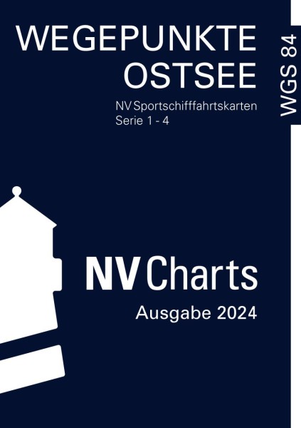
This booklet contains useful waypoints for GPS navigation on the Baltic Sea, which are used in the NV CHARTS charts.
The waypoints are a selection of suitable buoys, approaches or corner points at safe water depths. They are printed as red markers in the NV CHARTS sport navigation charts and thus save the user of satellite navigation devices from having to look up the coordinates in the nautical chart when drawing up the route plan or while underway.
Softback booklet.
Waypoints of the Baltic Sea is published annually (in April).
German edition.
| Article-No. | Description | Edition | Article | Price (Copy) | Delivery | Quantity | |
| 9026-041 | Wegepunkte der Ostsee | 2013 | Wegepunkte der Ostsee / NV Charts Art.Nr.: 9026-041 description: Wegepunkte der Ostsee edition: 2013 €15.90* net: €14.86 In stock. | €15.90* net: €14.86 | In stock. |


